Iceland is the Nature Disneyland Everyone Should Book a Flight To


Iceland's Rich History

Image by David Mark from Pixabay
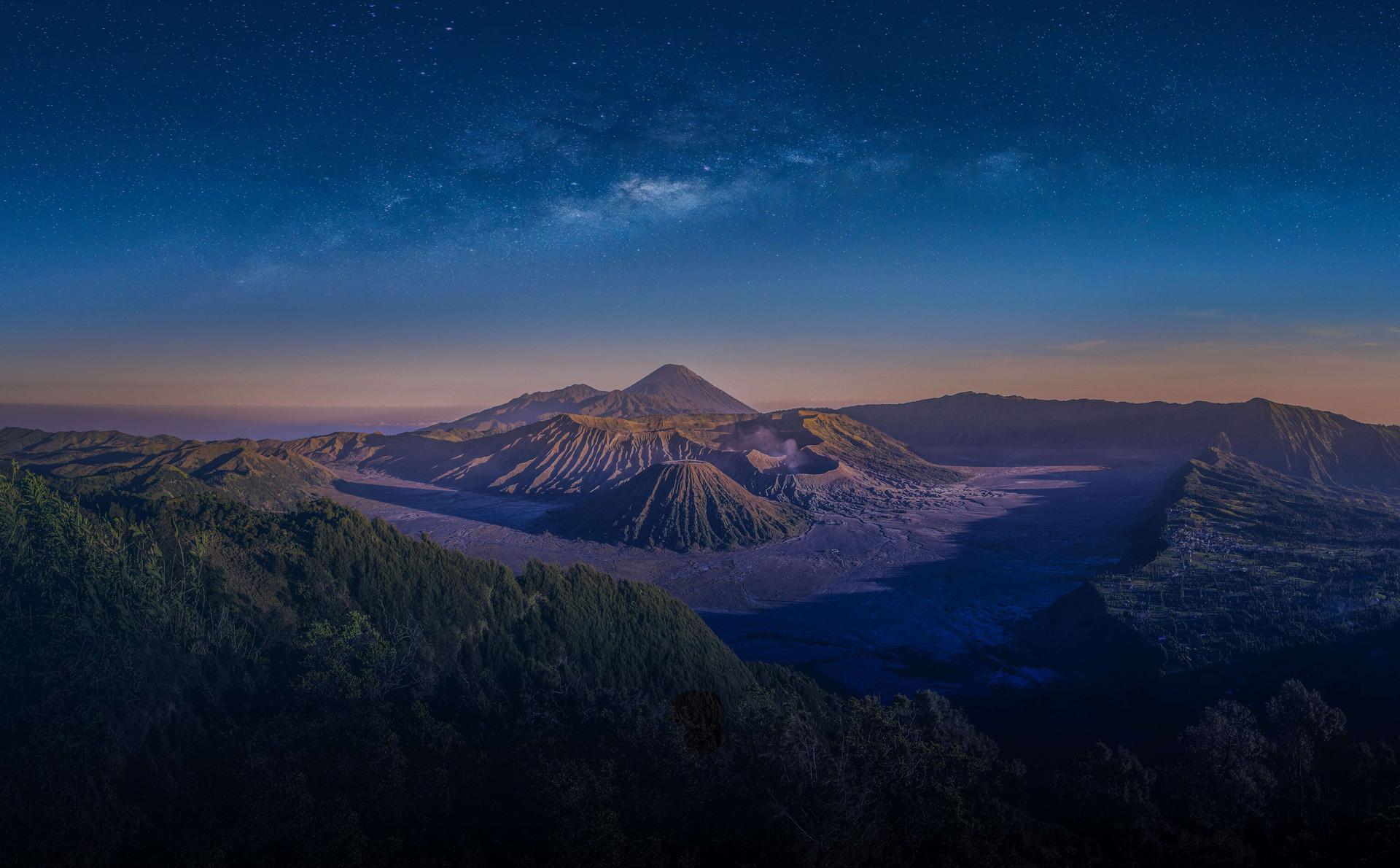
Iceland is a small island country in the North Atlantic Ocean. It lies on the continually active tectonic boundary between North America and Europe, and is a nation of stark temperature, geology, and cultural differences.
The country's ruggedly beautiful mountain ranges are dotted with sparkling glaciers, including Europe's largest, Vatna Glacier (Vatnajökull); abundant hot geysers provide heat for many of the country's homes and buildings and allow for year-round hothouse agriculture, and the offshore Gulf Stream provides a surprisingly mild climate for one of the world's northernmost inhabited places.
Reykjavik ("Bay of Smokes"), the island's capital, was the location of the island's first farmhouse and is now a bustling metropolis with an attractive appearance and a cosmopolitan attitude.
Akureyri, on the north-central coast; Hafnarfjördhur, on the southwest coast; and Selfoss, in the southern lowlands, are the other significant population centres.

Image by Christian Klein from Pixabay
Entry Requirements to Iceland

Image by Cruse Ores from Canva
As of this year, Iceland has lifted almost all of their travel restrictions for international travellers.
But, it is best to always double-check for any new travel updates that we might have missed from the date of this publication. You can find further information in Traveloka’s COVID-19 Info & Requirements.
Main Airlines Operating to Iceland
Major airlines departing from Kuala Lumpur International Airport arrive at Reykjavik Airport, which is located in Reykjavik. Non-stop flight time is between 15 hours and 55 minutes only.
The most commonly used airlines from Malaysia to Iceland are Thai Airways and KLM Dutch Airlines.

Image by Aart Beijeman from Pixabay
Thai Airways operates one time weekly. It will take off at 1.30 pm. It may differ from time to time depending on changes made by the airlines.
KLM Dutch Airlines operates one time weekly, and it will fly you to Madrid as well. It has one time take off which is at 8.55 pm. This flight time is on the current updated system, and it may change in future.
The frequency of flight take-off may change from time to time. You need to frequently check their system for the company's updated information released or updated.
Blue Lagoon

Image by Veronica Bosley from Pixabay
This most famous of geothermal baths is a must-see tourist site about 40 minutes from Reykjavik. Natural swimming in pale blue water in the shadow of a power station may be found here.
Since 1976, when it originally became popular with locals, a whole Blue Lagoon business has sprung up around it.
The water from the subterranean hot springs has a temperature of 37-39 degrees Celsius and is reported to be extremely healthy and helpful to the skin.
Don't dismiss the hypothesis if the die-hard Icelanders are any indication.
There's a shop offering skincare items, a variety of spa services, and places to dine and drink, in addition to bathing in a unique setting. This is a must-see for anybody visiting Iceland.

Image by Aline Dassel from Pixabay
Travelers' Tips:
The Northern Lights, Aurora Borealis

Image by darrenquigley32 from Pixabay
The Northern Lights, often known as the Aurora Borealis, are one of Iceland's most renowned tourist attractions.
The solar wind, a flow of ions emanating from the sun, is associated with auroras. These particles become caught in the earth's magnetic field and clash with air molecules, resulting in energy bursts that look like enormous circles around the poles.
This magnificent natural light show is best viewed from afar and is especially beautiful during periods of enhanced solar activity.

Image by David Mark from Pixabay
Travelers' Tips:
Kirkjufell Mountain

Image by David Mark from Pixabay
As you travel down Route 54 towards the north shore of the Snaefellsnes Peninsula, Kirkjufell appears as a commanding vision in front of you.
Kirkjufell is connected to the peninsula by a length of land on its south side, forming an almost perfect cylinder.
On land, you can see the mountain from three directions, except north, where it faces the sea. However, one way to view this side of Iceland from the north is kayaking beneath Mt. Kirkjufell, a two-hour enthralling experience travelling beside one of Iceland's most spectacular mountains.
Kirkjufell mountain is a stunning act of glacial erosion that has been taking place in Iceland for millions of years, ever since the last Ice Age.

Image by Marcel Dominic from Pixabay
The mountain is incredibly steep in all directions, as you can see in the shot below, and layers of rocks can be seen from the bottom to the top. This was developed as a result of a unique natural phenomenon known as "nunatak" in Iceland.
It's really a Greenlandic Inuit name for a high rock that protrudes from glaciers. It's essentially an exposed peak that isn't encased in ice, and it's also known as the glacier island.
Kirkjufell was unique in that it was sandwiched between two glaciers, which affected and sculpted the mountain into its current shape. Its strata are the product of several volcanic eruptions.
The mountain's remarkable stature also caused an early Danish sailor to give it a humorous nickname: "Sukkertoppen" or "the Sugar Top" in English, owing to its great presence.
Travelers' Tips:
Gullfoss Waterfall

Image by falco from Pixabay
Gullfoss is a multi-tiered waterfall that reaches 105 feet in height (32m). The gap, which the Hvita River forms, is obscured from view at close range, giving the impression that the river has vanished into the soil.
There's a well-known anecdote of a girl who travelled barefoot from Reykjavik to Gullfoss to protest the usage of the falls for hydroelectric power generation. She is claimed to have protected the falls from destruction, and a memorial in her honour has been constructed beside the falls.
The Gullfoss waterfall is also known as the 'Golden Falls' because the water becomes a golden-brown colour on a bright day. This is because its source is the Langjökull glacier, which contains a lot of sediments carved out of the earth by glacial ice over time.
The waterfall reaches a total height of 32 metres and is broken into two sections. The top waterfall is 11 metres tall, while the lower waterfall is 21 metres.

Image by Hans Braxmeier from Pixabay
Travelers' Tips:
Glacier Lagoon

Image by photovicky from Pixabay
Jökulsárlón, sometimes known as a glacier lagoon, is a lake filled with meltwater from an outlet glacier. Breiamerkurjökull, a tongue of Europe's biggest ice cap, Vatnajökull, in this case. It stands out, though, since it is filled with icebergs that have broken off the glacier, some of which are tall.
Apart from their size, these icebergs are famous for their colouration. Although they are mostly white, most of them are also stained electric blue in parts, with black streaks of ash from millennia ago eruptions.
The icebergs may float out to sea or wash up on the local coast when they eventually make it across the lagoon. This location has been dubbed 'the Diamond Beach' because of how they gleam against the dark sands of Breiamerkursandur.
Despite being a relatively new creation, Jökulsárlón is Iceland's deepest lake, reaching depths of 248 metres. It is also one of the biggest, with a surface area of 18 square kilometres.

Image by seebeyond from Pixabay
Jökulsárlón is a biodiversity hotspot in Iceland because of the abundance of herring and capelin that the tides bring into the lagoon.
It is a breeding location for Arctic Terns throughout the summer; they remain far away from their nesting area since these birds are known for their fierceness in protecting their eggs, dive-bombing the heads of any threat they encounter.
During this time of year, skuas also build their nests on the lake's shoreline.
Seals can be seen swimming among the icebergs or hauling out on them at any time of the year. Jökulsárlón is a safe sanctuary for them to relax and socialise, especially because the seas of southeast Iceland are known for their orca population.
Reynisfjara

Image by Susan Browne from Pixabay
Reynisfjara is often regarded as the most spectacular example of Iceland's black sand beaches, with its massive basalt stacks, raging Atlantic surf, and breathtaking views.
It was named one of the Top 10 non-tropical beaches to visit on the earth by National Geographic in 1991.
Reynisfjara is around 180 kilometres south of Iceland's capital, Reykjavik, and lies a popular stop-off for people on a sightseeing trip along the renowned South Coast.
Driving to the beach is very simple; it takes around two and a half hours from the capital, so it can easily be completed in half a day or a whole day if coupled with other activities.
When visiting the beach, visitors will notice the Reynisdrangar, which are rocky sea stacks that sit off the seashore.
According to local Icelandic tradition, these massive basalt columns were once trolls attempting to pull ships from the sea to shore. On the other hand, these trolls were dull and ventured out late at night; daylight came on the horizon, turning the trolls into solid stones.

Image by Susan Browne from Pixabay
The beach of Reynisfjara is ideally positioned in the centre of the South Coast, close to the settlement of Vk. This implies that tourists travelling around Iceland on the Ring Road or headed to the Jökulsárlón glacial lagoon will pass through it and are urged to stop. The Dyrhólaey rock arch and cliffs are the closest prominent landmark.
While Reynisfjara has a large number of seabirds, it pales in comparison to the numbers seen here. It is one of the greatest spots to observe puffins from the land from May to August.
On the way from Reykjavik to Reynisfjara, you'll pass across waterfalls like Seljalandsfoss and Skógafoss, as well as glaciers like Eyjafjallajökull and Mrdalsjökull.
The Vatnajökull National Park, with its various glacier tongues, glacier lagoons, black sand deserts, and the spectacular Skaftafell Nature Reserve, is located further down the South Coast.
Skaftafell Ice Cave, Vatnajökull National Park
Vatnajökull National Park, located in the country's south, is a realm of glaciers and spectacular ice caves that draws explorers worldwide. The Vatnajökull glacier and its surroundings make up the huge national park (one of three in Iceland), which is separated into four areas.

Image by JimboChan from Pixabay
Travelers' Tips:

Recommended Articles

7 best theme parks in Australia with epic rides

2026 Toyota AFL Grand Final: The Complete Melbourne Guide for Visitors

Malaysia Digital Arrival Card, All Important Things You Need to Know!

17 Best Things To Do in Bukit Bintang, Kuala Lumpur (2026 Guide)

10 Closest Beaches to Kuala Lumpur for a Quick Getaway in 2026

30 Iconic Malaysian Traditional Foods You Must Try in 2026